Mauka to Makai: How We Give Directions in Hawaiʻi
In Hawaiʻi, we rarely use cardinal directions like North, South, East, and West in everyday conversation. Instead, we rely on a deeply intuitive navigation system built around our island's most constant features: the mountains and the ocean. This approach reflects a worldview rooted in the land, or ʻāina, where orientation comes from the physical landscape rather than an abstract compass.
Whether you are on Oʻahu, Maui, the Big Island, or Kauaʻi, giving directions involves Hawaiian-language terms, local landmarks, and regional nicknames. To a newcomer, this can be slightly confusing at first. Once you understand the system, however, it feels far more natural than following a GPS.
The Ancient Roots of Island Wayfinding
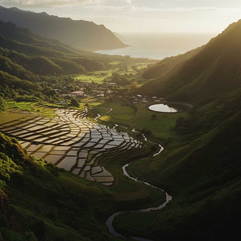
Our mountain-to-ocean orientation is not just a modern convenience. It is a reflection of an ancient Hawaiian worldview embedded in the ahupuaʻa system of land division. An ahupuaʻa was a wedge-shaped land unit that extended from the mountain summit all the way down to the ocean and offshore fishing grounds.
This system ensured that each community had access to the full spectrum of resources on the island. The mountain zone provided fresh water and forests, the midland zone offered agricultural terraces for growing kalo (taro), and the coastal zone provided fishponds and ocean gathering areas.
Practiced for over a thousand years before Western contact, the ahupuaʻa system created a sustainable lifestyle where the connection from mountain to sea was the organizing principle of daily life. Our directional language today is a living echo of that relationship. As the language evolved, these concepts merged into our everyday speech. You can learn more about how our local language developed by reading about da history of Pidgin in Hawaii.

Adapting the Compass: Our Local Linguistic Shift
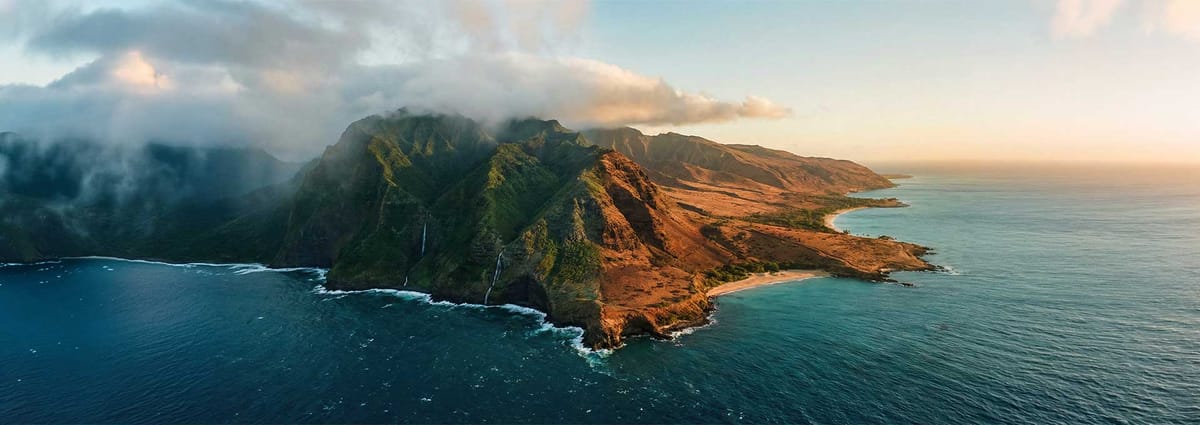
The two most essential directional words in Hawaiʻi are mauka and makai. Mauka means toward the mountains or inland. Makai means toward the ocean or seaward.
On an island, the ocean and the mountains are never far away. This makes these directions universally useful no matter which way you are facing. If a destination is on the mauka side of the highway, it is simply on the side closer to the mountains.
This system elegantly solves a problem that cardinal directions cannot. Whether you are driving north or south along a coastal road, the makai side is always the ocean side. Left and right flip depending on your direction of travel, but mauka and makai are consistent constants.
We also integrated island-specific experiences to localize our global map. On Oʻahu, locals add a second axis that completely replaces east and west. Instead, people use:
Diamond Head — toward Diamond Head crater (roughly east/southeast)
ʻEwa — toward the town of ʻEwa Beach (roughly west)
Combined with mauka and makai, this creates a complete four-directional system unique to Oʻahu. A classic set of Honolulu directions sounds like this: "Go ʻEwa on Beretania and when you get to Ward, turn makai, then head Diamond Head on King. It'll be on the mauka side of the street." To a local, this is perfectly clear and highly efficient.
On the Big Island, residents use their two main population centers as cardinal anchors. Kona side refers to the sunny western coast, while Hilo side refers to the rainy eastern coast. We describe travel in terms of these regional anchors, so heading west is simply "going Kona side."
Navigating Today: Landmarks and Living Memory
Our directional framework also uses the trade winds as an organizing principle. Windward is the side of the island facing the prevailing northeast trade winds, making it lush and green. Leeward is the sheltered side away from the trade winds, which is drier and sunnier.
On Maui, the vocabulary expands with specific regional terms. Upcountry refers to the higher-elevation communities on the slopes of Haleakalā, like Makawao and Kula. We also use Hāna side for the remote eastern coast and Lahaina side or West side for the western resort areas.
Across all islands, a fundamental directional shorthand exists between urban and rural areas. On Oʻahu, Town specifically means Honolulu and the surrounding metro area. Someone from the North Shore might say "I'm going to Town" to mean they are heading into the city. Conversely, Country refers to the rural and more remote parts of the island. We even use the word Townie in Pidgin to describe someone who lives in Honolulu and acts more city-like.
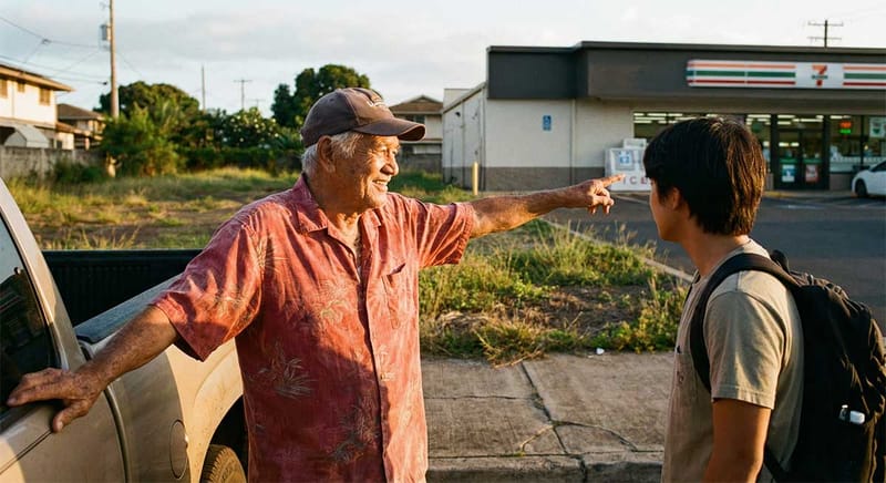
Beyond geographic features, modern navigation relies heavily on local landmarks and living memory. While we use official landmarks like the Pali (the cliff pass on Oʻahu), everyday directions often involve hyper-local references:
"Turn left where the Wendy's used to be."
"Go past Kimo's house."
"There's a gigantic tree on the side of the road... turn a half mile before that."
This navigation style reflects tight-knit communities where people know their neighbors and remember what used to be at every corner. We orient ourselves by the living landscape and shared history rather than street signs.
Preserving the Map in Our Minds
Hawaiian directional language is a practical, elegant navigation system perfectly adapted to island life. By orienting to the mountains and ocean rather than abstract compass points, we maintain a form of wayfinding that is both ancient and everyday.
When we use Hawaiian-language terms like mauka and makai for navigation, we keep the language alive in daily practice. This connects modern residents to centuries of indigenous knowledge.
Learning to think in these directions is more than just a helpful way to get around. It is a doorway into understanding how deeply the people of Hawaiʻi are connected to the land and sea. This ongoing practice preserves our local voice and ensures our cultural map remains intact for future generations.
Original archival photos courtesy of the Library of Congress. Colorized and enhanced.